Crater Lake, Oregon • Mid-Century Modern • Vintage Topographic Map • Featuring GPS Coordinates • Typography Art Print
$17.90
Step back in time and explore the rich history of Crater Lake with this vintage map art print. Created by John H. Renshawe in 1914 from the United States Geological Survey’s topographic sheet, this map beautifully highlights the unique geology of Crater Lake National Park. The iconic blue waters of the lake, nestled in a caldera formed by the collapse of Mount Mazama thousands of years ago, are depicted in striking detail. This piece is perfect for history buffs, adventurers, and anyone in love with the great outdoors. Display it proudly in your home or office to add a touch of natural beauty and historical charm.
This art is available unframed, framed, mounted on canvas, and framed canvas.
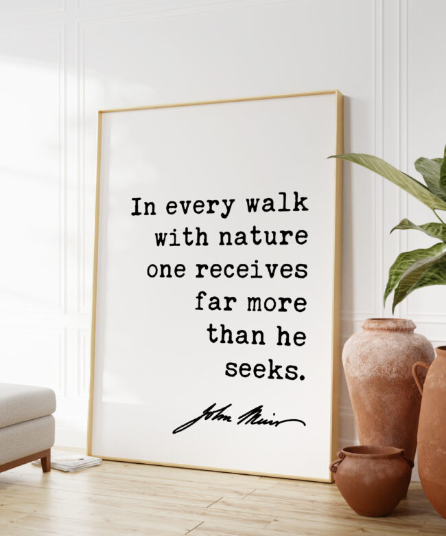
The different frames you see are for illustration purposes, as to give you some ideas of what the art can look like if you purchase an UNFRAMED PRINT and go purchase a frame similar to the ones displayed.
Please read below what you will receive for each available option:
PRINT NO FRAME INFO
- Professionally Printed on Ultra-Premium Luster Photo Paper
- 250 gsm, 9.5 mil thick
- Satin Finish
- Fingerprint resistant
- Frame NOT included
- These prints will last a lifetime
- Made to Order in the USA
BLACK FRAMED PRINTS INFO
- .875” Wide x .875″ Tall Solid Wood Frame
- Hanging Hardware Included
- Optical-Grade Clear Acrylic Glazing
- Made to Order in the USA
NATURAL WOOD FRAMED PRINTS INFO
- .875” Wide x 1.125″ Tall Solid Wood Frame
- Hanging Hardware Included
- Optical-Grade Clear Acrylic Glazing
- Made to Order in the USA
FRAMED CANVAS INFO
- Solid Wood Frame that wraps around mounted canvas
- Frame thickness: 1.25″
- Comes with rubber pads on the back corners
- Made to Order in the USA
MOUNTED CANVAS INFO
Mounted Canvas Prints are NOT framed. Our art canvas is wrapped around a high quality 1.25″ thick wood stretcher to create a gorgeous gallery wrap that’s ready for hanging. They are printed on Acid-free, PH-neutral, poly-cotton base. Printed on textured and fade-resistant canvas. Canvas is a great option because of its minimalist beauty without the expense of framing and matting.
- 1.25″ (3.18 cm) deep
- No Frame – See picture of MOUNTED CANVAS
- Mounting brackets included
- Hand-glued solid wood stretcher bars
- Made to Order in the USA
If you have any questions, please contact us and we will be happy to help.
Shipping & Returns
Shipping
All of our products are made to order, which eliminates waste and ensures only the highest quality products are produced. Orders ship within 2-5 business days after your order has been placed.
Our orders ship via USPS priority mail, first class mail, FedEx, and DHL. You should receive your order within 2-5 days once it has shipped. We will provide you with tracking information once your order ships.
Returns
We want you to be super happy with your purchase from Nature Is Our Home.
We gladly accept returns and exchanges
If we made a mistake on your order, we will do whatever it takes to make sure you receive the correct item. Please contact us and we will make things right.
We accept returns and exchanges within 30 days of purchase. If you aren’t completely happy with your purchase, please contact us to start a return. Once we receive your return request, we will reply with the return shipping address. We will credit the original credit card used to purchase the item(s) once we receive the return.
– Apparel items must be returned unworn and unwashed.
– Items that are not in its original condition or are damaged or missing parts for reasons not due to our error will not be eligible for refund or exchange.
The following items can’t be returned or exchanged
Because of the nature of these items, unless they arrive damaged or defective, we can’t accept returns for:
– Custom or personalized orders
– Framed Art
– Canvas and Framed Canvas Art
– Food & Beverages
– Digital downloads